
“Snelgrove said users can view 15-year trends in private working lands for such metrics as land use, market value, ownership size and population by county, river basin, eco-region or region of interest. They can also choose different regional areas to make side-by-side comparisons of different metrics used.”
By: Paul Schattenberg
Texas A&M AgriLife

Photo: Texas A&M AgriLife Extension Service
The October 2014 Texas Land Trends report described key findings of changes in land use, ownership size and property values of rural working lands alongside population changes from 1997 to 2012.
“This new Web tool allows users to interact with the data to view land trends across Texas for user-defined areas,” said Amy Snelgrove, institute program coordinator.
Snelgrove said users can view 15-year trends in private working lands for such metrics as land use, market value, ownership size and population by county, river basin, eco-region or region of interest. They can also choose different regional areas to make side-by-side comparisons of different metrics used.
“For example, a user interested in trends in land use and ownership size in Brazos County can use the interactive tool to see that information for 1997-2012,” Snelgrove said. “Then, if the user wants to see how those trends compare to the same metrics in another area, they can.”
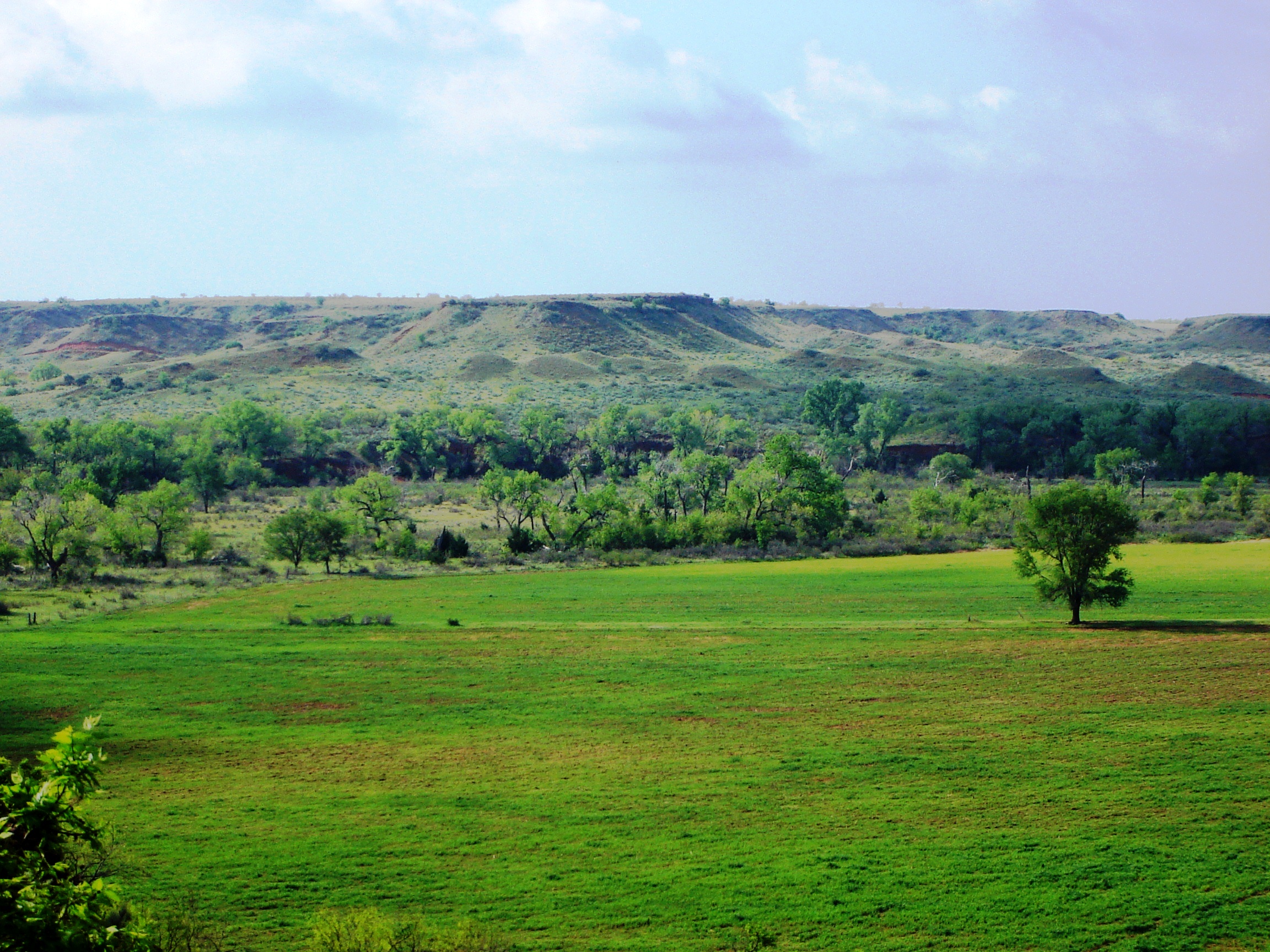
Dr. Roel Lopez, institute director, said the 2014 Texas Land Trends report showed that Texas experienced a net loss of nearly 1.1 million acres of rural working lands from 1997 to 2012, continuing the trend of rural land loss and fragmentation in Texas.
“This dramatic loss and fragmentation of privately owned farms, ranches and forests — also known as rural working lands — is affecting the state’s rural economies, the conservation of water and other natural resources, as well as the nation’s food security and military training capabilities,” he said.
Lopez said the interactive data in Texas Land Trends provides public and private decision-makers with information needed to plan for the conservation of these vital working lands.
“Texas Land Trends is a critically important data source for policy makers, conservation organizations, state agencies and federal agencies in terms of looking at what is happening to our land base in Texas,” he said.
Data sources used to build this interactive tool included Texas Comptroller of Public Accounts property tax/value data, which provided an annual compilation of land use and land value data from 1,021 independent school districts. Other data sources included the U.S. Department of Agriculture’s National Agricultural Statistics Service Census of Agriculture data from 1997 to 2012 and Texas Department of State Health Services census population data.
Lopez said the Web-based tool will be followed by a series of reports relating land trends to natural resource issues across the state. All reports will be available on the Texas Land Trends website as they are published.
Texas Land Trends was developed in cooperation with Texas A&M AgriLife Research, Texas A&M AgriLife Extension Service and Texas Agricultural Land Trust. It was funded by the Meadows Foundation, Houston Endowment, Mitchell Foundation, Hershey Foundation and AgriLife Extension.
Find more stories, photos, videos and audio at http://today.agrilife.org