
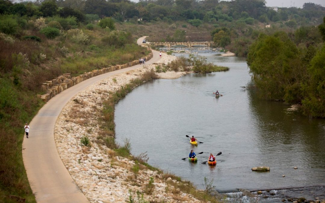
About 4,500 years ago, native Texans mapped their waterways on a cave wall in the Pecos River Valley. A rock painting called the White Shaman Mural shows four dots along a sinuous red line. Gary Perez, a descendent of the Hokan-speaking peoples of South Texas, said that these dots align perfectly with Barton Springs in Austin, Comal Springs in New Braunfels, San Marcos Springs, and the Blue Hole in San Antonio.
A few millennia later, the Great Springs Project has proposed to connect the same four springs via 100 miles of hike-and-bike trails. Led by conservation advocate Deborah Morin, the project will safeguard 50,000 acres of land over the Edwards Aquifer recharge zone, a corridor that feeds and purifies the water supply of over two million people. In December, the National Park Service (NPS) pledged its support for the Great Springs Project.
Read more from Aubrey Parks with San Antonio Report here.